Interactive Web-based GIS Application
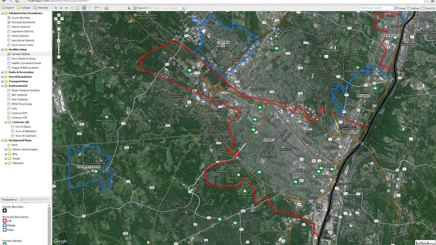
CHA developed a series of interactive mapping applications for Albany County. The data viewer provides a robust interface for public access to a wide range of information, including tax parcel information, environmental data, community events, road closures and emergency alerts, and restaurant inspection results. Users can layer boundary data over criteria including transportation options, agricultural zones, and flood zones. We also developed a secure, staff-only application for viewing and editing GIS data.
The Albany County tool can be accessed at http://chamaps.com/albanyco/gisviewer/.
Project summary
Eighteen layers of data developed.
Interactive mapping data for 13 towns.
Mapping application covers 533 square miles.
Talk to an expert

Neal O'Driscoll
Senior Vice President,
Digital Solutions
Neal has three decades of experience managing and delivering geospatial solutions to energy, transportation and municipal clients. He actively contributes to the firm’s significant oil and gas projects, driving the company toward new opportunities by introducing innovative geospatial services to clients. His expertise includes technology assessments, functional requirements and application specifications definitions, system interface definition, software configuration, data conversion/migration, and system deployment.