Utility Right of Way Encroachment Assessment
Orange & Rockland, an electricity and gas supplier throughout New York and New Jersey, needed to locate transmission structures and identify potential encroachments.
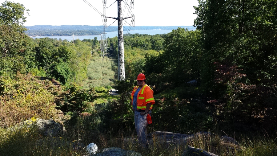
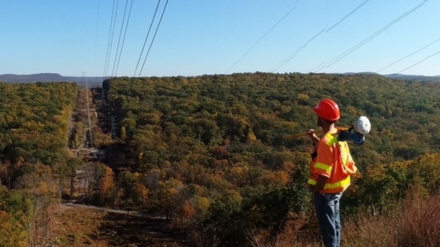
Utilizing high-accuracy GPS and electronic data loggers to capture encroachment attributes and digital photos, our team of experts conducted an extensive field survey. Spanning approximately 300 miles of utility right-of-way (ROW) corridors, CHA employed innovative tools and techniques to successfully locate transmission structures and identify potential encroachments. The encroachment points were analyzed in GIS to prioritize and mitigate critical issues and secure the integrity of these vital pathways.
Project summary
Providing service to over 300,000 customers.
Field survey of approximately 300 miles of utility right-of-way.
Talk to an expert

Neal O'Driscoll
Senior Vice President,
Digital Solutions
Neal has three decades of experience managing and delivering geospatial solutions to energy, transportation and municipal clients. He actively contributes to the firm’s significant oil and gas projects, driving the company toward new opportunities by introducing innovative geospatial services to clients. His expertise includes technology assessments, functional requirements and application specifications definitions, system interface definition, software configuration, data conversion/migration, and system deployment.